DIKES/BREAKWATERS
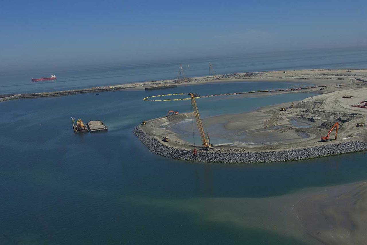
Detailed and reliable volume calculations for the construction of breakwaters or dikes.
Accurate 3D-models used for GPS-guided/controlled machines, for detailed construction drawings, follow-up of bills of quantities. The 3D-designs are made to be incorporated in e.g. the digviewers of excavation or dredger to guide the dredging/excavation and fill/reclamation.
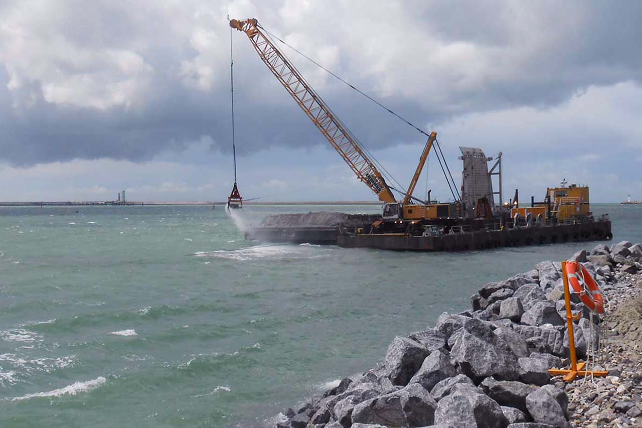
On site the 3D-models can be directly imported in the software for GPS guidance. So when cranes place rock on breakwaters, this can happen with less than 10 cm accuracy.
These tools assist in the information exchange between designers and surveyors.
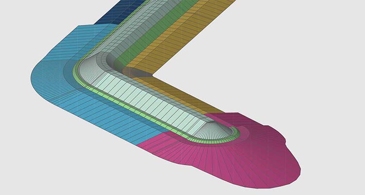
vb. CAD 3D-model


vb. breakwater
